There are two ways to use the OwlsheadGPS Project website:
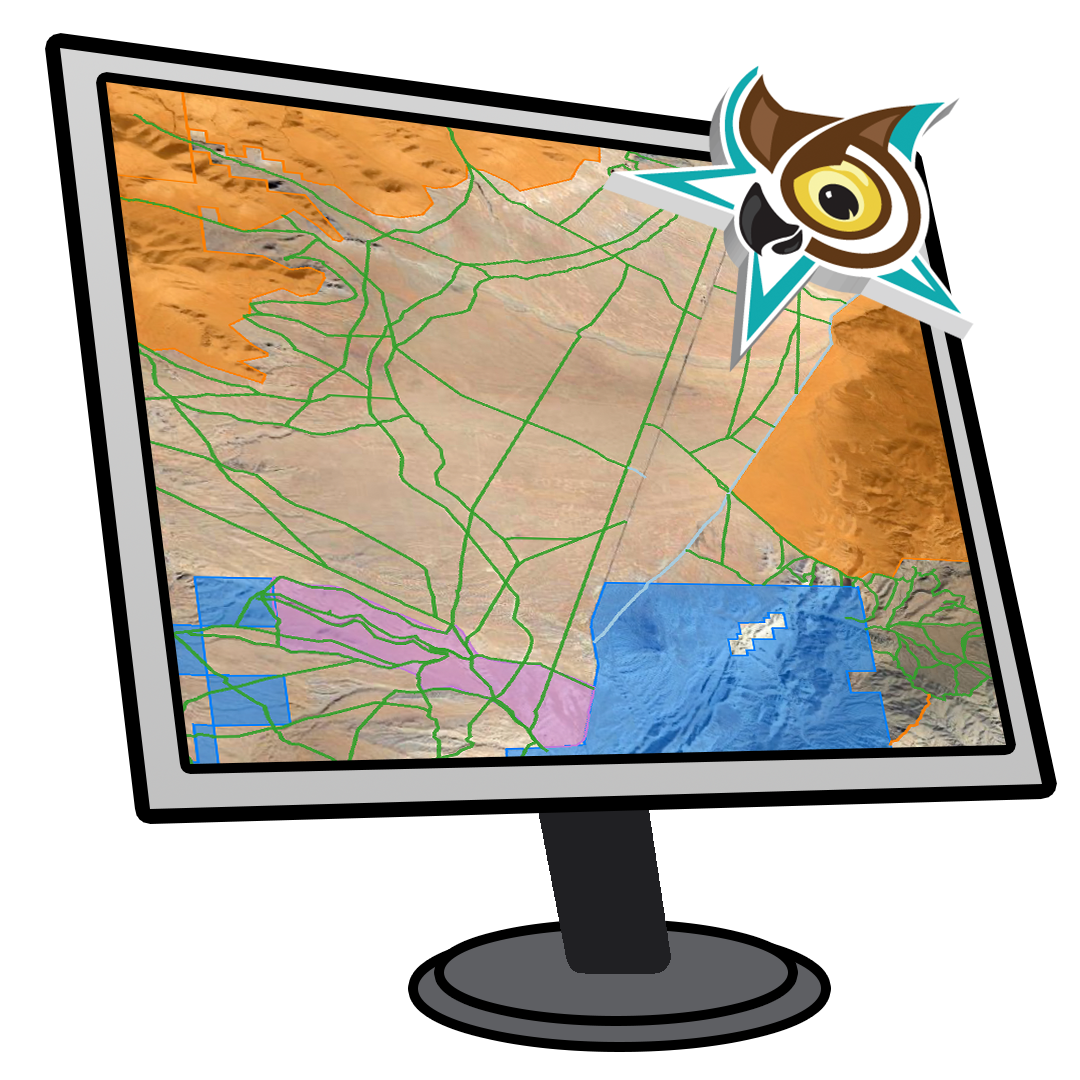
1. You can use our MapViewer to view interactive maps of designated OHV routes in the Project Area. The Carto map system is easy-to-use, and allows you move across the map, zoom in and out, and print your own maps. Click on a route to launch a popup balloon with information about the route and links to download a GPS route file to your computer.
2. You can download our GPS Route Files in KML and GPX formats to view on your mobile device with the Avenza Maps app, or your PC or Mac. Open the file using popular programs like Avenza Maps, Google Earth, National Geographic Topo, and Garmin Basecamp. Check the documentation for your mapping software to see if it will open or import KML and GPX files.